
About my City Vaasa
City of Vaasa is located in the narrowest point of the Gulf of Bothnia. Vaasa (The capital of Ostrobothnia) has over 67 000 inhabitants; 69% speak Finnish as their mother tongue, 23% speak Swedish and 8% speak other languages.
| Total area | 575 sq km |
|---|---|
| -land | 364 sq km |
| -water | 210 sq km |
| Shoreline | 473 km |
| -mainland shoreline | 80 km |
| -archipelago shoreline | 313 km |
| -lake shoreline | 80 km |
In 1606 Charles IX founded the town of Vaasa around the oldest harbour and trading point in Ostrobothnia. In 1852 Vaasa was burnt to the ground, and in 1862 the new town of Vaasa was built on the Klemetsö headland 7 km from the old town.
Vaasa on the map
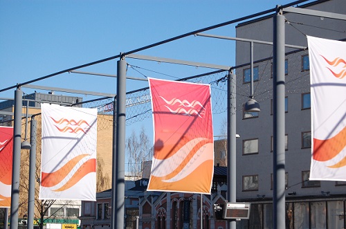
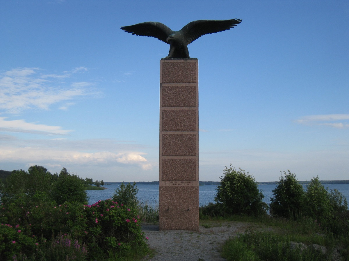
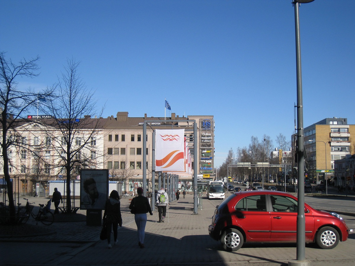
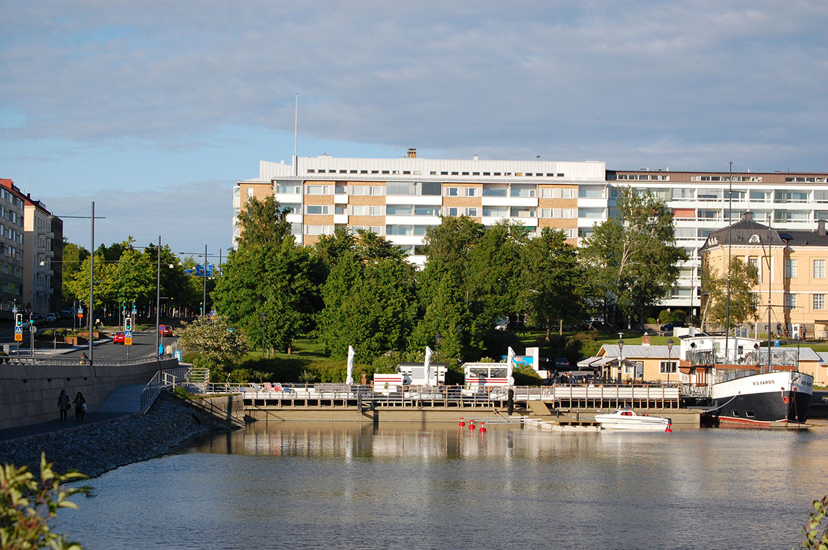
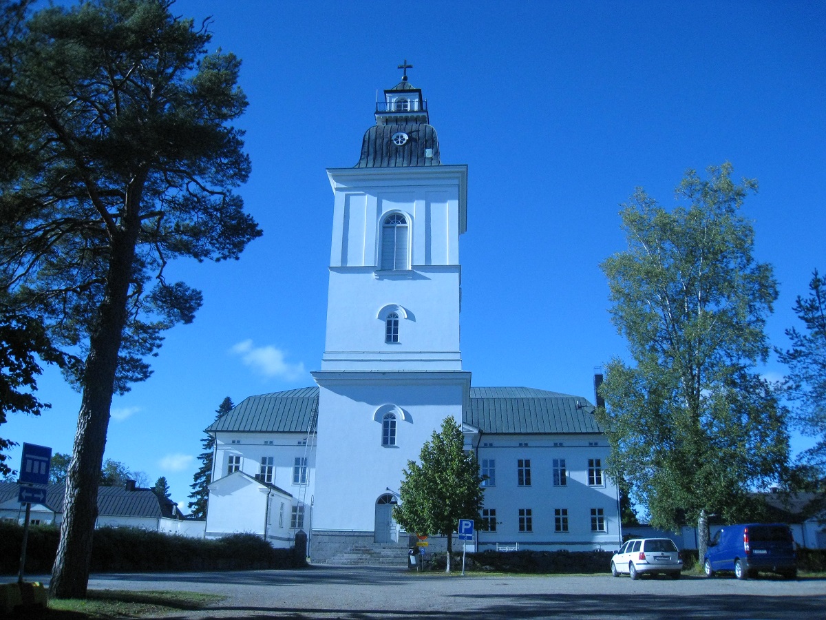
Some pictures from Vaasa
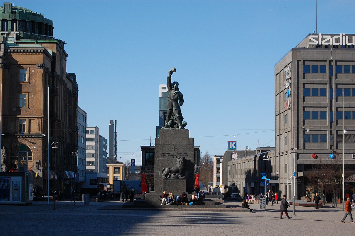
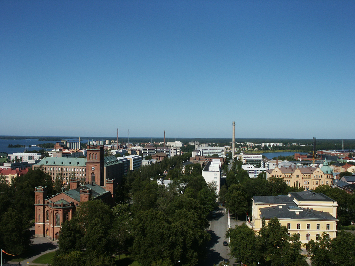
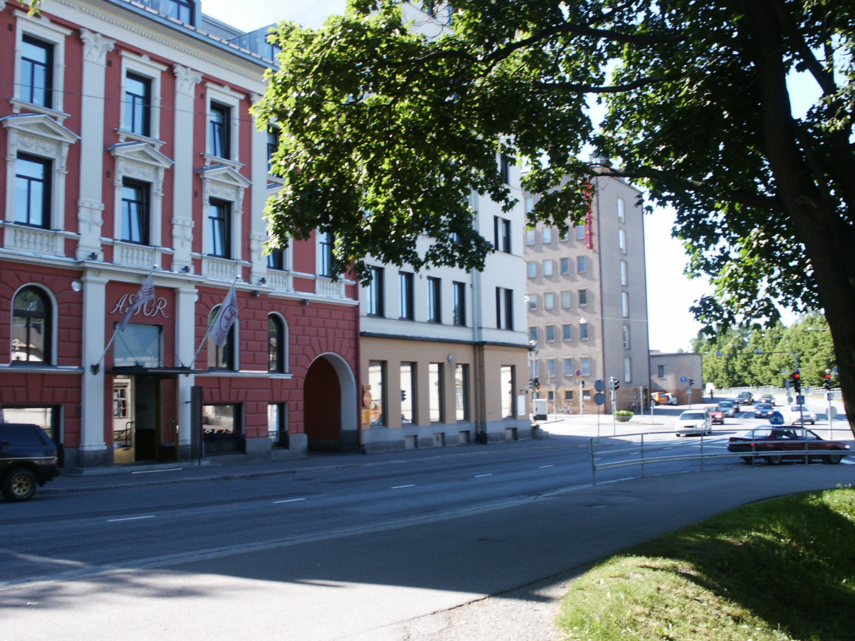

All pictures: © 56FL001, Timo
More info about Vaasa
For more info about Vaasa you can visit:
http://www.vaasa.fi/en
And for more info about Ostrobothnia:
http://www.pohjanmaa.fi/home-en/
The Kvarken archipelago is on UNESCO's world heritage list:
http://www.kvarkenworldheritage.fi